We’re organizing 3 events at AGU this year:
See you in New Orleans! 🚀
Oral and poster session
IN21D (poster): Tuesday, December 16th; 8:30-12:00; in hall EFG
IN23A (oral): Tuesday, December 16th; 2:15-3:45; in room 294
Open Source Geospatial Workflows in the Cloud: Tools and Techniques for Data Access, Analysis, Visualization, Storytelling, and Sharing in the Python and Jupyter ecosystem
Open and fluid interoperability is increasingly crucial as geospatial data, from Earth system models to in-situ and remote observations, grow in size and complexity. This interoperability is both more challenging and impactful when workflows combine local and cloud platform resources. A growing ecosystem of science, education, and industry is emerging that shares open source tools and standards to democratize and facilitate access to data and compute. This session invites practitioners and developers exploring approaches to improve accessibility, usability, and capabilities of open source geospatial software, focusing on lowering technical barriers. By acknowledging both strengths and limitations of available tools, we aim to facilitate open conversations about what’s working, what’s missing, and what’s next. We seek to convene tool builders and users to chart a more inclusive, community-driven path forward for open geospatial science, fostering better understanding of our world through enhanced access to data and computational resources.
Invited speakers
Invited Speaker - Fernando Pérez
Dr. Fernando Pérez is an Associate Professor in Statistics at UC Berkeley and scientist at LBNL. He builds open source tools for humans to use computers as companions in thinking and collaboration, mostly in the scientific Python ecosystem (IPython, Jupyter & friends).
A computational physicist by training, his research interests include questions at the nexus of software and geoscience, seeking to build the computational and data ecosystem to tackle problems like climate change with collaborative, open, reproducible, and extensible scientific practices.
He is a co-founder of Project Jupyter, the 2i2c.org initiative, the Berkeley Institute for Data Science, and the NumFOCUS Foundation. He is a recipient of the 2017 ACM Software System Award and the 2012 FSF Award for the Advancement of Free Software. In 2024, Project Jupyter was honored by the Biden White House as a winner of the Year of Open Science Recognition challenge.
Learn more at Fernando’s website!
Invited Speaker - Tasha Snow
Dr. Tasha Snow is a research scientist who co-founded the CryoCloud geoscience cloud-computing community and received the 2023 American Geophysical Union Open Science Recognition Prize. She spends much of her time working to broaden scientific collaboration capabilities, facilitate open-source development, and accelerate scientific workflows. In parallel to her open science work, her research focuses on building new ways of applying satellite data for investigating ocean and glacier changes in Greenland and Antarctica.
Learn more at Tasha’s website!
Invited Speaker - Julia Stewart Lowndes
Dr. Julia Stewart Lowndes is a marine ecologist championing kinder, better science in less time — for future us. Her main focus is how open source, data science, and environmental research can empower us to uncover climate solutions faster by working together as collaborative teams and communities.
Julie is an active part of the open science movement. In 2018 she founded Openscapes as an open source community following her own research team’s path to better science in less time. In 2024, Openscapes was recognized by the Biden White House as a Year of Open Science Recognition Challenge winner.
Learn more at Julie’s website!
Organizers
Primary Convener - Qiusheng Wu
Dr. Qiusheng Wu is an Associate Professor and the Director of Graduate Studies in the Department of Geography & Sustainability at the University of Tennessee, Knoxville. He also serves as an Amazon Scholar. Dr. Wu’s research focuses on geospatial data science and open-source software development, with an emphasis on leveraging big geospatial data and cloud computing to study environmental change, particularly surface water and wetland inundation dynamics. He is the creator of several widely used open-source Python packages, including geemap, leafmap, segment-geospatial, and geoai, which support advanced geospatial analysis and interactive visualization.
His open-source work is available at @opengeos.
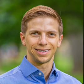
Convener - Max Jones
Dr. Max Jones is a cloud engineer at Development Seed, building open-source solutions that enable change on a global scale. He is passionate about increasing data accessibility that drives decision-making, with a particular enthusiasm for all things geospatial. Max previously led open-source work at CarbonPlan, a non-profit building open data and tools for climate action. Max serves on the Pangeo Steering Council and the Cloud Native Geospatial Forum Editorial Board.
Find some of Max’s open source software at https://
Convener - Chelle Gentemann
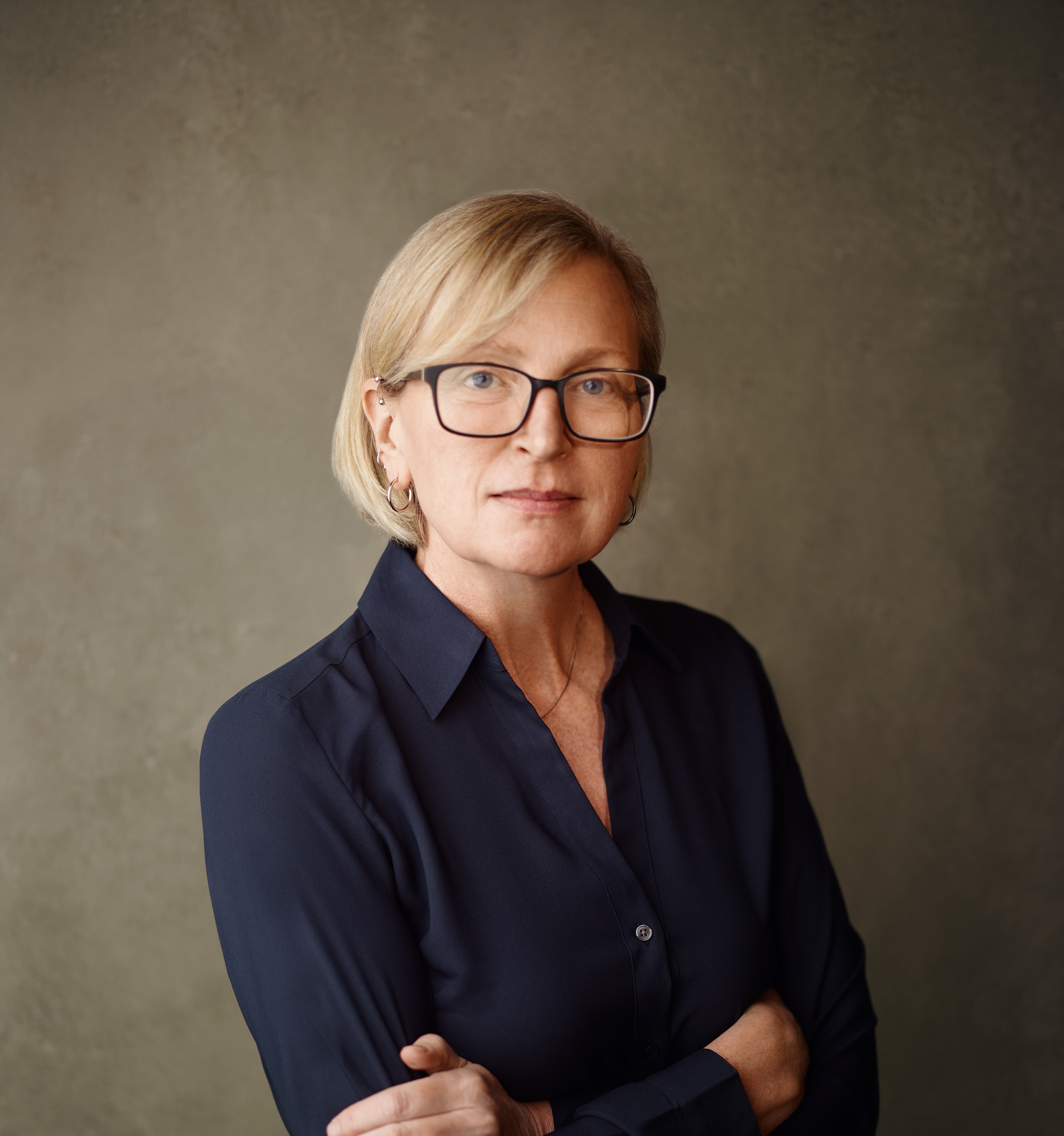
Dr. Chelle Gentemann is an advocate for better science through openness and collaborations. As a computational physical oceanographer focused on remote sensing, Chelle haas worked for over 25 years on retrievals of ocean temperature from space and using that data to understand how the ocean impacts our lives. More recently, Chelle is the open science program scientist at NASA Science Mission Directorate’s Office of the Chief Science Data Officer.
Chelle’s talks & presentations can be found https://
Convener - Tyler Erickson
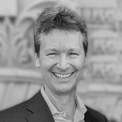
Dr. Tyler Erickson is the founder of the geospatial consultancy VorGeo, a Technical Fellow at the non-profit Radiant Earth, and a founding editorial board member of the Cloud-Native Geospatial Forum. Previously he led the developer relations team for Google Earth Engine. Dr. Erickson’s work focuses on building communities & ecosystems around emerging technologies, with an emphasis on technologies that can be leveraged by environmental sustainability projects.
His writings & presentations can be found at https://
Student Convener - Wilson Sauthoff
I am a PhD candidate in the Colorado School of Mines Glaciology Lab researching Antarctic subglacial hydrology using geospatial altimetry data, statistics, and machine learning. I am a contributor to the open-source cloud computing hub from CryoCloud.
See my website for more information and to get in touch.
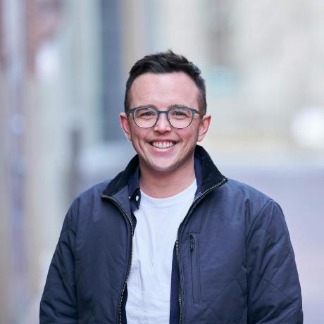
Organizer - Matt Fisher
👋 I’m a Community Manager and Research Software Engineer at Schmidt Center for Data Science & Environment at UC Berkeley. I’m passionate about open source software, open science, and building culture and structure to help people feel safe and comfortable contributing to scientific software projects.
My primary project is GeoJupyter, a community that strives to enable more people to confidently engage with geospatial data in the Jupyter ecosystem. Our flagship project, bootstrapped by QuantStack, is JupyterGIS: a JupyterLab-native GIS environment with real-time collaboration.
You can find more information about me at my website!
Workshop
SCIWS10: Thursday, December 18th; 8:30-5:00; in room 333-334
Open-Source Geospatial Workflows in the Cloud: Learn New Tools and Techniques for Data Access, Analysis, Visualization, Storytelling, and Sharing in the Python and Jupyter Ecosystem
Participants will learn to work on an open cloud platform with JupyterHub; analyze and explore data with tools like JupyterGIS and leafmap; work in a fully collaborative environment with Jupyter Notebooks and JupyterGIS; author technical content with MyST and Jupyter Book; and share their research outcomes, including journal publications, websites, blog posts, dashboards, and software packages.
All details and materials are open source and available for free on the official workshop website. Please use them on your own time, reuse them for your local community, or fork and remix them to suit your purposes! In the spirit of open source, contributions are welcome and encouraged!
Town hall
TH45J: Thursday, December 18th; 6:00-7:00; in room 286-287
Is Your Data-Intensive Earth Science Research Tool Kit Open, Efficient, Resilient to Change, and Leading to Real-World Impact? A Discussion with GeoJupyter and Cloud-Native Geospatial Community Members
Geospatial research is becoming increasingly data intensive due to advances in data collection and modeling as well as reduced costs of storage and processing. Research infrastructure must evolve in order to leverage massive datasets while following the FAIR principles. Open data and open source software, which have developed rapidly in recent years, are key components of the optimal infrastructure. This town hall seeks open discussion on key topics such as: What barriers are preventing researchers from using open data and open source tooling? What can be done to accelerate the transition of Earth science research discoveries into practice? What steps can be taken to make Earth science research more resilient to changes in access to datasets and/or services, whether provided by commercial or government entities? This town hall will include: Presentations from communities working to address these issues, including the Cloud Native Geospatial community (https://
cloudnativegeo .org/) and the GeoJupyter community (https:// geojupyter .org/). A moderated discussion focusing on audience questions, comments & perspectives. This town hall is for researchers, tool developers, and infrastructure maintainers. The goal of this town hall is to identify barriers and potential next steps needed to develop the next generation of open science research workflows.